One Shared Resource, Several Ways to Set Priorities
Compare ways to set priorities for a shared coastal resource and see how each brings different needs, trade-offs, and affected groups into view.
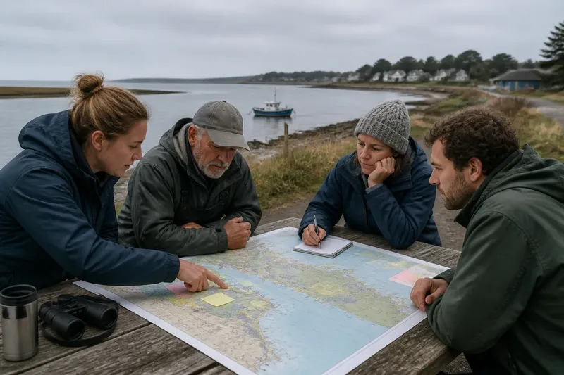
A coastal priority list can look neutral while quietly favoring the needs that are easiest to count. If a council ranks a shared resource by visitor numbers, for example, daily access may dominate while habitat recovery, local livelihoods, or emergency access fade from view. Comparing priority-setting approaches helps readers notice those differences before a preferred option is mistaken for an objective one.
These field notes focus on the choices built into the comparison itself: what counts as a need, who can describe it, and how competing concerns remain visible. The aim is not to crown a single method. It is to recognize what each method makes legible—and what it leaves in the margins.
What counts as a priority?
In coastal policy, “priority” can mean a pressing problem, a valued benefit, a group’s unmet need, or an action that public agencies can take. Those meanings overlap, but they are not interchangeable. A ranking of problems may produce a different order from a ranking of public benefits, even when both draw on the same shoreline and the same public comments.
Start by noticing the unit being compared. Is the discussion about places, such as a harbor entrance or a dune system? Activities, such as fishing, swimming, or ferry access? Outcomes, such as safer passage or healthier marsh? Or groups of people who rely on those places and outcomes? A list that mixes units—one item about a community, another about a habitat, a third about a proposed project—can seem comprehensive while making direct comparison difficult.
A useful reader’s question is: “If this item moves up the list, what decision could change?” If the answer is unclear, the priority may be a broad value rather than a decision-ready concern. Broad values still matter, but they should not be presented as if they were comparable to a specific access problem without explanation.
What does a needs-based approach reveal?
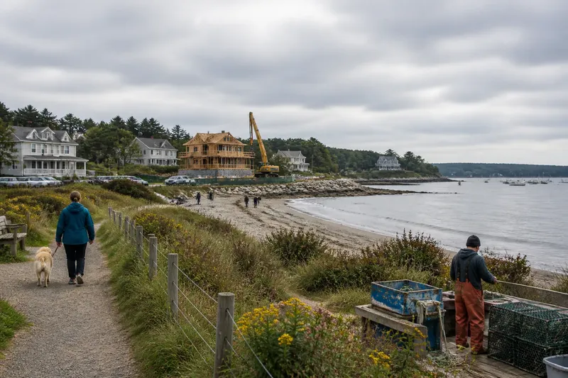
A needs-based approach starts with what people or ecosystems require to function, rather than with whichever project has already been proposed. For a coastal inlet, relevant needs might include safe passage for working vessels, a route to the water for residents without private access, room for tidal habitat, or reliable access for responders. The list can make overlooked dependencies visible.
This approach is strongest when the question is whose basic requirements are not being met. It can also reveal that a seemingly narrow issue has several layers. A blocked launch route, for instance, might affect a fishing operation, a community’s access to a public landing, and the ability to reach a nearby area during an emergency. Naming those needs separately prevents one convenient label from swallowing them all.
Its limitations deserve equal attention. A needs list does not automatically say which need should come first when two cannot both be met in the same place. Nor does it settle what counts as a sufficient level of access or ecological function. Readers can look for the reasoning that links a stated need to evidence, affected people, and a possible public choice.
What changes when priorities are ranked?
Ranking asks people to put concerns in order, or to assign each a score against shared criteria. It can help decision-makers see which issues participants consider most urgent. A ranking also compresses a complicated set of views into a tidy sequence, which is precisely why the criteria matter.
Ask what the rank represents. It might reflect urgency, the number of people affected, the severity of harm, feasibility, or a combination. A high position under one criterion need not mean the same thing under another. If a ranking folds all criteria into one score, readers should be able to see how those criteria were selected and how their relative influence was decided.
Ranking can also hide disagreement. Two groups may give an issue the same overall position for very different reasons: one may see a serious but narrow harm, another a moderate effect across many households. The rank alone does not preserve that distinction. A careful account keeps the reasons, minority views, and uncertainties beside the ordering instead of treating the final list as the whole public judgment.
What does mapping add to the discussion?
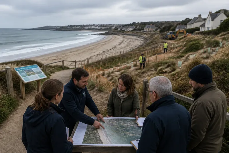
Mapping makes location part of the priority. A map can show where several uses overlap, where access routes narrow, or where a valued resource connects to places beyond the immediate project area. For shorelines, that spatial view matters because a boundary on a policy document may not match the ways water, sediment, wildlife, or daily travel connect the coast.
Maps are not neutral containers. The scale can make a neighborhood concern vanish or make a broad regional pattern appear more precise than it is. A symbol for “recreation” may represent a crowded public beach, a quiet fishing spot, or a route used by people who have few alternatives. Readers should check what the map’s categories mean and whether people who use the place helped describe them.
Mapping is especially useful alongside another approach. A needs list can identify a need for dependable access; a map can show which routes serve that need and where they intersect with habitat, working waterfronts, or public facilities. The map then adds context rather than pretending to settle the priority on its own.
How do different approaches make needs visible?
How does a needs list differ from a ranked list?
A needs list identifies requirements and gaps without necessarily ordering them. A ranked list places concerns in relation to one another, so readers should check what criteria produced the order.
When is a map more useful than a score?
A map is useful when location, connection, or overlap drives the issue. A score may be easier to compare across criteria, but it can conceal where impacts fall and who depends on a particular place.
What should readers ask about public input?
Ask who was invited, how people could contribute, and whether the record shows differences in experience rather than only a combined tally. Participation can add local knowledge, but a comment count is not a complete picture of who is affected.
What if the approaches point in different directions?
Treat that disagreement as information about the choice, not as a flaw that must be erased. A need may rank highly while appearing in a small area on a map, or a widely used place may contain a less visible ecological dependency.
How can approaches be compared without picking a winner?
Compare them by asking what each one sees, what it tends to miss, and what decision it can support. A compact comparison can be kept in the meeting notes or attached to a public comment:
- Needs-based: Which essential requirements or unmet needs become explicit? Which needs remain hard to compare?
- Ranked or scored: What criteria shape the order? Are differences of reasoning preserved beside the result?
- Map-based: Which locations and connections become visible? What scale or category choices might hide local detail?
- Deliberative discussion: Can participants explain trade-offs and challenge assumptions? Whose time, access, or familiarity with public meetings may limit participation?
- Ecological assessment: Which habitat functions or resource dependencies are considered? How are human uses represented alongside them?
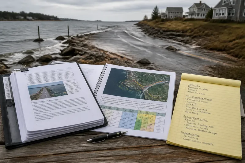
Say a fictional coastal town is considering changes around a public landing used by residents, a small charter operation, and wildlife moving through a nearby marsh. A needs list might identify dependable public access and habitat continuity. A ranking session might place emergency access first, while a map reveals that the only practical route crosses the same narrow area used by the charter boats. The expected observable result of keeping all three records together is not agreement; it is a clearer account of which needs overlap and where a decision could create a trade-off.
That comparison also helps separate a disagreement about values from a disagreement about facts. People may agree that access matters but differ over which route serves the most people. Or they may agree on the location and disagree about how much disturbance the habitat can tolerate. Naming the type of disagreement makes the next public question more precise.
What is not worth the effort?
It is usually not worth forcing every concern into a single master score merely because a spreadsheet can hold one. A polished composite number can look decisive while hiding choices about categories, weighting, and missing information. A small set of transparent views—a needs list, a map, and a record of reasons—may be more useful than a single ranking that no participant can explain.
Nor does every meeting need a new framework. If a public body already has a clear, accessible way to record needs and trade-offs, readers can focus on whether it fits the current decision and whose knowledge is absent. The method should serve the choice, not become a separate project that consumes attention without clarifying the choice.
What should a reader look for in the public record?
Look for the material that connects a stated priority to its source: a map, a comment summary, an assessment, or an explanation of the criteria. Check whether the record distinguishes observed conditions from assumptions, and whether uncertainty is described plainly. A careful document does not need to resolve every uncertainty, but it should not disguise one as a settled fact.
Then look for the voices and uses that are easy to overlook: people who reach the shore on foot, seasonal workers, small operators, nearby residents, and communities whose access depends on public facilities. Their presence in a list is not the same as their influence over how the list was made. The record can show whether their concerns were considered, combined with others, or left unanswered.
Finally, notice what happens after priorities are named. Does the public body explain which options remain open, what information could change the comparison, and where people can comment on the trade-offs? For readers comparing ways to set priorities for a shared coastal resource, that trail—from need to method to public choice—is often more revealing than the order of the final list.