The Definition That Sets a Shoreline Proposal’s Reach
A shoreline proposal’s definition can decide which places, activities and people count. Learn how to compare wording and flag terms needing clarification.
The most common mistake when reading a shoreline proposal is to treat its definitions as housekeeping. That can hide the proposal’s real reach: a term such as “coastal area” may include only mapped public land, or extend to private lots, nearby waters, businesses and residents. Read the definition closely, and you can see who and what the policy would touch before you judge its aims.
A useful way to do that is to compare three approaches: a boundary defined by place, one defined by activity, and one defined by affected people or interests. Each can make sense, but each leaves different questions. Your task is not to decide which wording sounds most official; it is to identify what the wording includes, what it leaves out, and where a reader needs a clearer answer.
What does a place-based definition include?
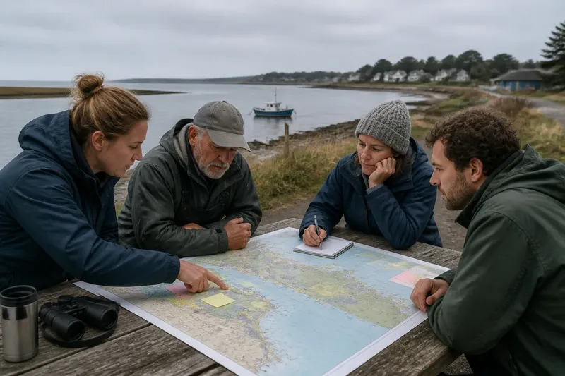
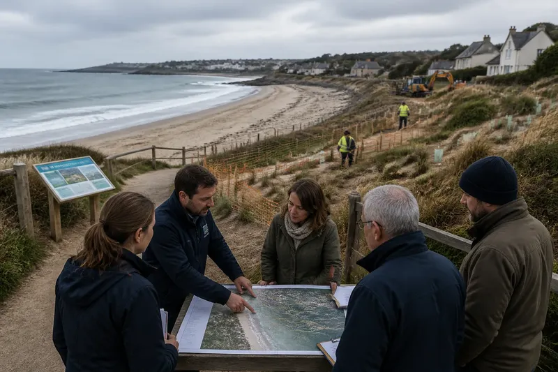
A place-based definition draws the proposal’s reach around a geographic area. It might refer to a named shoreline, a mapped hazard zone, a watershed, public land near the water, or parcels within a locally defined coastal district. This approach can be easy to picture because a map or boundary description gives readers a location to check.
Its weak point is the edge. A boundary may stop at a property line, road, jurisdictional limit or map layer even when the environmental or community issue continues beyond it. A proposal covering “the beach” might not say whether that includes dunes, access paths, tidal wetlands or nearby parking areas. The chosen map may also be out of date or use a label that residents understand differently from the agency applying it.
This approach often suits proposals whose purpose is tied to a specific location: for example, managing public access at a named beach or considering land-use rules inside a designated coastal district. It is less clear when the consequences travel across boundaries, as runoff, erosion or visitor traffic can do.
When you see a place-based term, mark the exact boundary source and ask what happens at its edges. Does the proposal name a map, parcel type or legal jurisdiction? Does it include connected features outside the line? A definition that points to a map should let readers identify which map and how to interpret its boundary.
When is an activity-based definition a better fit?
An activity-based definition focuses on what people do rather than precisely where they do it. Terms such as “shoreline development,” “coastal recreation” or “dredging” can cover actions across multiple locations. This can fit a proposal intended to address a process or practice that occurs in different places, rather than a single site.
The trade-off is that broad activity words can conceal important distinctions. “Development” might mean construction, subdivision, renovation or a change in land use. “Recreation” could refer to walking, boating, fishing or organized events. If the proposal uses a broad term without naming the relevant actions, readers cannot tell whether ordinary maintenance or a small-scale activity is included.
This approach tends to suit policies aimed at a recognizable action, especially when it can occur across several jurisdictions. It needs more clarification when the same activity has different effects depending on its scale, location or timing. Look for limits and conditions in the definition itself, not only in a later description of the proposal’s goals.
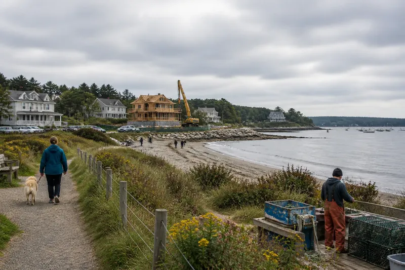
For instance, imagine a fictional proposal that refers to “coastal construction” but does not define it. A reader could mark the term and ask whether it includes replacing an existing stairway, building a new home, or only larger projects. The expected observable result of that clarification is a more precise scope readers can apply to the proposal, not a prediction about whether any particular project will be approved.
Who counts under a people-based definition?
Some proposals define their reach by identifying people, organizations or interests. A document may refer to “coastal communities,” “waterfront property owners,” “commercial fishers” or “recreational users.” These categories can make a policy’s intended audience visible, especially when participation or eligibility depends on who belongs to the group.
But labels can group people too loosely. “Residents” might mean year-round households, seasonal occupants or everyone living in a municipality. “Fishers” might include people fishing for food, licensed commercial operators or both. A proposal may also affect people who do not fit its named categories, including workers, visitors or residents inland from the shore.
A people-based definition suits a proposal that assigns a role, benefit, restriction or opportunity to a specified group. It is harder to use as the only boundary when effects extend to a wider community or depend on a place or activity. Ask what qualifies someone for inclusion and whether the term captures people who experience consequences without being named as the primary audience.
It is not worth chasing every possible interpretation of an ordinary word if the proposal clearly defines it elsewhere. Spend your attention on terms that change who can participate, what conduct is covered, or which locations may be affected.
How should you compare the three approaches?
Use the proposal’s purpose to judge whether its definitions match its intended reach. A map-centered boundary is most useful when the issue is tied to a location. An activity-centered boundary fits a policy about conduct across locations. A people-centered boundary helps when the policy assigns roles or consequences to identifiable groups. Some proposals combine all three; in that case, look for how the parts interact rather than assuming one definition controls everything.
A quick comparison can expose mismatches:
- Place: Can you point to the included area on a map or in a clear boundary description?
- Activity: Can you name the actions covered, and distinguish them from similar actions that are not?
- People: Can you tell who qualifies, and whether affected people outside that group are addressed?
- Connections: Does the wording account for effects that cross a boundary or link one activity to another?
- Application: Could two readers use the definition and reach different conclusions about the same location, action or person?
Choose the approach that makes the proposal’s stated purpose understandable without leaving a consequential gap. If the proposal concerns a specific public access point, a place boundary may be the clearest starting point. If it concerns a recurring practice across several shorelines, an activity definition may fit better. If it establishes who can apply for support or take part in a process, a people-based definition may be necessary. When two approaches are both relevant, ask whether the proposal connects them explicitly.
Which terms deserve a closer question?
What does “coastal area” mean here?
Check whether the proposal ties the phrase to a named map, jurisdiction, land type or physical feature. If it does not, mark the boundary as unclear and ask which locations qualify.
Does “shoreline” include land beside the water?
Look for explicit references to dunes, wetlands, access routes, structures or adjoining parcels. If the term appears without those details, ask whether the proposal covers only the water’s edge or connected areas as well.
Which activities count as “development”?
Search for examples, exclusions or thresholds in the proposal’s own text. If the definition does not distinguish new construction from maintenance or other changes, note that readers cannot reliably tell which actions fall within scope.
Who is included in “the community”?
See whether the proposal identifies residents, businesses, visitors, workers or other groups. If it relies on the phrase without specifying membership, ask whose interests are represented and who may experience effects without being included by name.
How can you mark an unclear term usefully?
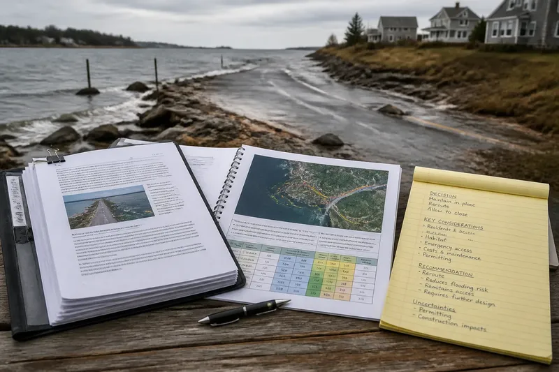
A useful note identifies the word, the decision it affects and the clarification needed. Avoid writing only “vague”; explain what a reader cannot determine. For example: “Coastal area: the text does not identify whether the mapped district includes the public access road. Please name the boundary source and say whether that road is included.” This gives a reviewer a concrete issue to address.
Keep separate notes for separate uncertainties. If “shoreline development” raises both a location question and an activity question, write them as distinct points. That makes it easier to see whether a revised definition resolves both or merely sharpens one.
Also distinguish a missing definition from a disagreement about policy. You may understand exactly which properties are included and still oppose that choice. Conversely, you may support the proposal’s goal while finding its boundary too unclear to assess. Naming which problem you have helps keep comments focused.
What should you do when wording depends on a map or rule?
Follow the proposal’s cited map, agency terminology or governing rule rather than guessing from everyday usage. If the document points to a map layer or technical definition but does not identify it clearly, ask for the exact source and version. Where a definition affects legal rights, permits or obligations, consult the relevant public agency or a qualified professional; general reading can clarify the question, but it cannot settle a case-specific interpretation.
The main search phrase, shoreline proposal definition, is useful because it points to the practical question beneath the wording: what falls within the proposal’s reach? Keep that question beside each marked term. A clear definition should let readers identify the places, activities or people included—and recognize where the proposal has not yet made its boundary clear.